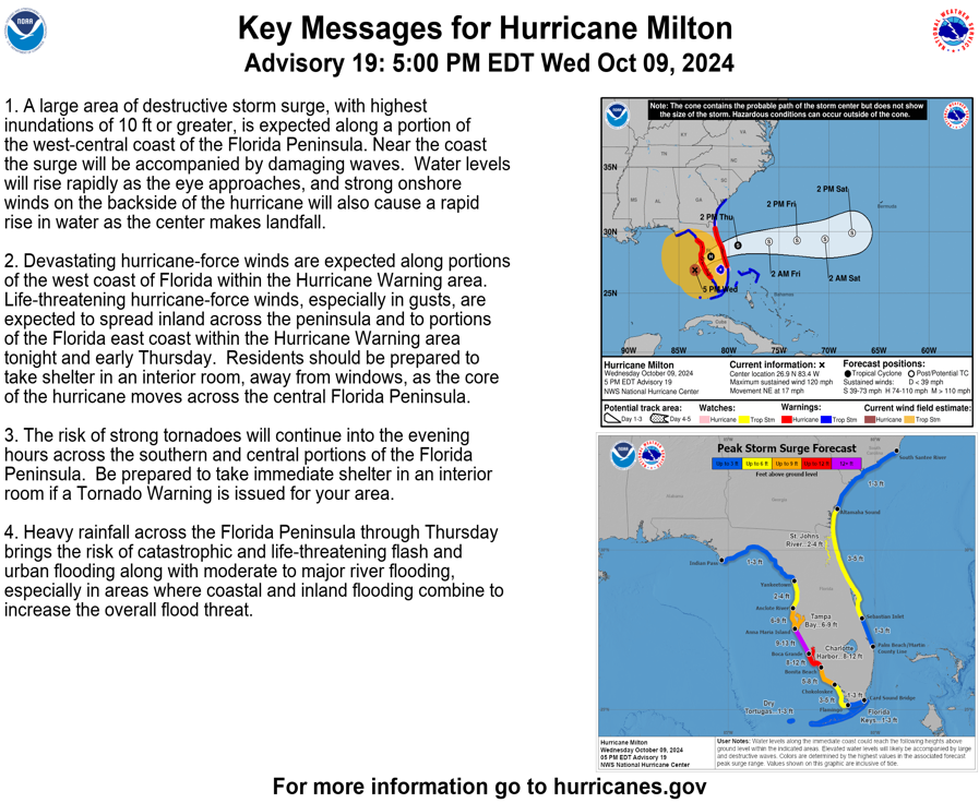
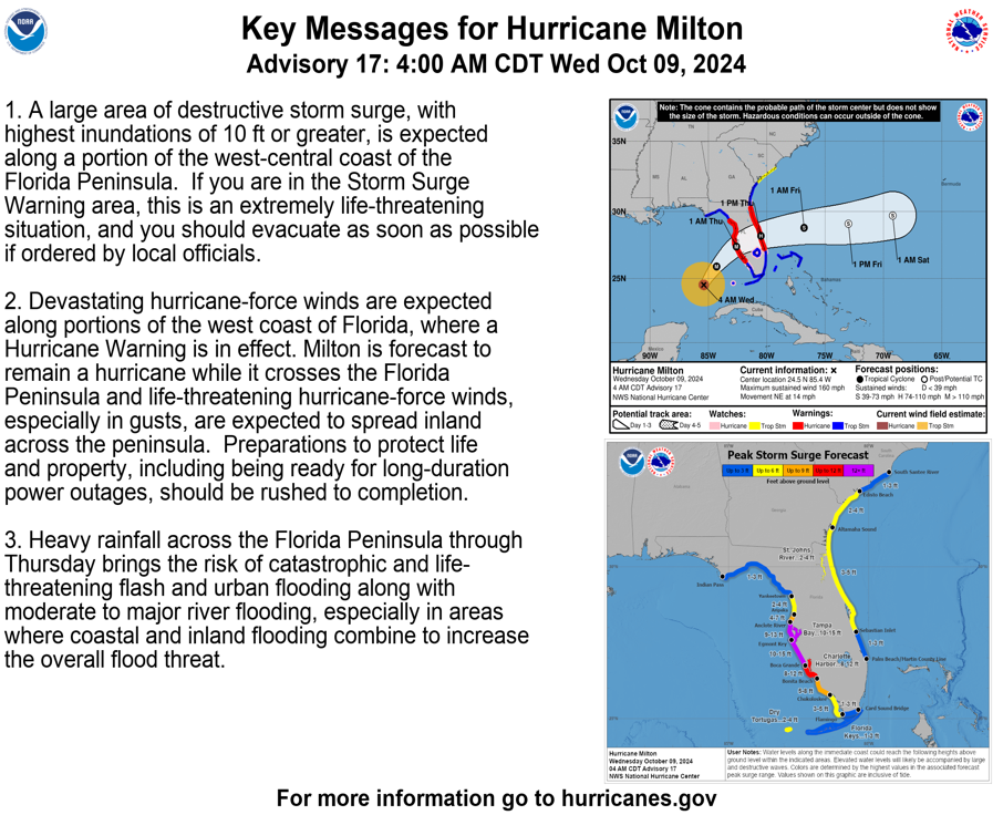
MILTON EXPECTED TO REMAIN MAJOR HURRICANE BEFORE LANDFALL ON FLORIDA‘S GULF COAST
The National Hurricane Center reports:
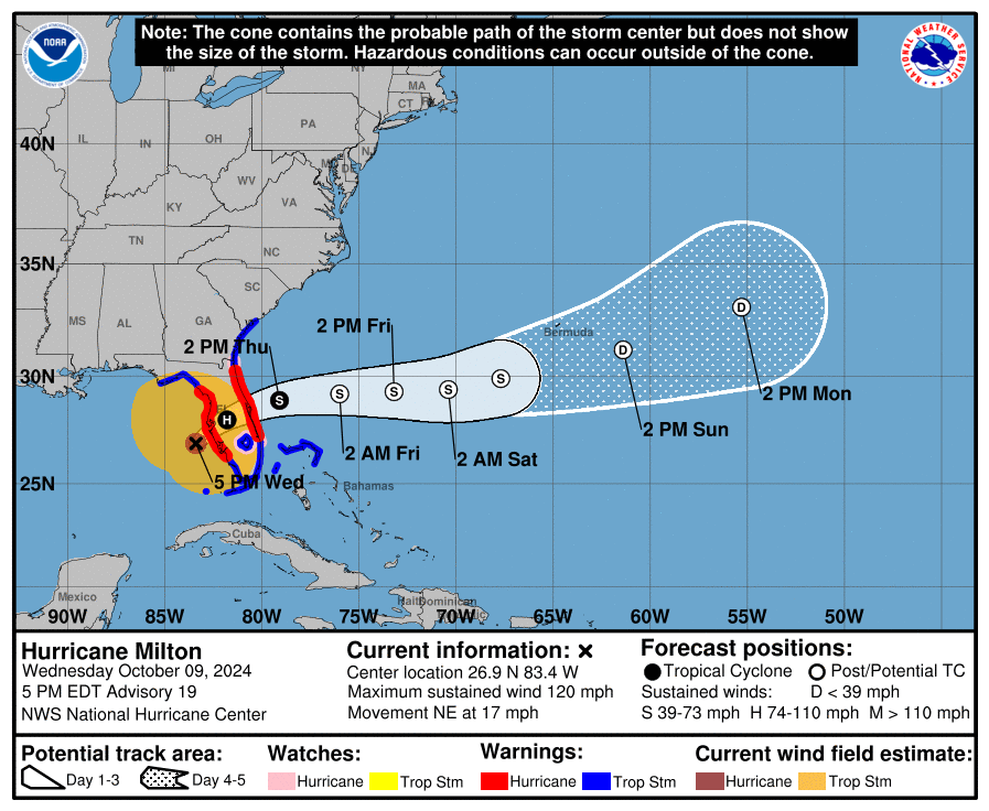
SUMMARY OF WATCHES AND WARNINGS IN EFFECT:
A Storm Surge Warning is in effect for…
* Florida west coast from Flamingo northward to Yankeetown,
including Charlotte Harbor and Tampa Bay
* Sebastian Inlet Florida to Altamaha Sound Georgia, including the
St. Johns River
A Hurricane Warning is in effect for…
* Florida west coast from Bonita Beach northward to Suwannee River,
including Tampa Bay
* Florida east coast from the St. Lucie/Martin County Line northward
to Ponte Vedra Beach
A Storm Surge Watch is in effect for…
* North of Altamaha Sound Georgia to Edisto Beach South Carolina
A Hurricane Watch is in effect for…
* Dry Tortugas
* Lake Okeechobee
* Florida west coast from Chokoloskee to south of Bonita Beach
* Florida east coast north of Ponte Vedra Beach to the mouth of the
St. Marys River
* Florida east coast from the St. Lucie/Martin County Line to the
Palm Beach/Martin County Line
A Tropical Storm Warning is in effect for…
* Florida Keys, including Dry Tortugas and Florida Bay
* Lake Okeechobee
* Florida west coast from Flamingo to south of Bonita Beach
* Florida west coast from north of Suwanee River to Indian Pass
* Florida east coast south of the St. Lucie/Martin County Line to
Flamingo
* North of Ponte Vedra Beach Florida to the Savannah River
* Extreme northwestern Bahamas, including Grand Bahama Island, the
Abacos, and Bimini
Possible Storm Surge Levels:
Anclote River, FL to Englewood, FL…8-12 ft
Tampa Bay…8-12 ft
Yankeetown, FL to Anclote River, FL…5-10 ft
Englewood, FL to Bonita Beach, FL…5-10 ft
Charlotte Harbor…5-10 ft
Bonita Beach, FL to Chokoloskee, FL…4-7 ft
Suwannee River, FL to Yankeetown, FL…3-5 ft

Portable Solar Generator, 300W Portable Power Station with F...
$189.98 (as of May 20, 2025 16:03 GMT -04:00 - More infoProduct prices and availability are accurate as of the date/time indicated and are subject to change. Any price and availability information displayed on [relevant Amazon Site(s), as applicable] at the time of purchase will apply to the purchase of this product.)
Champion Power Equipment 4000-Watt RV Ready Portable Inverte...
$574.00 (as of May 20, 2025 16:03 GMT -04:00 - More infoProduct prices and availability are accurate as of the date/time indicated and are subject to change. Any price and availability information displayed on [relevant Amazon Site(s), as applicable] at the time of purchase will apply to the purchase of this product.)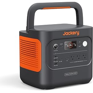
Jackery Explorer 2000 v2 Portable Power Station, 2042Wh LiFe...
$948.99 (as of May 20, 2025 16:03 GMT -04:00 - More infoProduct prices and availability are accurate as of the date/time indicated and are subject to change. Any price and availability information displayed on [relevant Amazon Site(s), as applicable] at the time of purchase will apply to the purchase of this product.)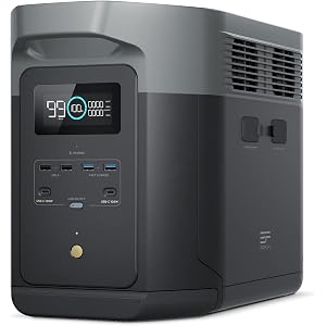
EF ECOFLOW Portable Power Station DELTA 2 Max, 2400W LFP Sol...
$1,099.00 (as of May 20, 2025 16:03 GMT -04:00 - More infoProduct prices and availability are accurate as of the date/time indicated and are subject to change. Any price and availability information displayed on [relevant Amazon Site(s), as applicable] at the time of purchase will apply to the purchase of this product.)