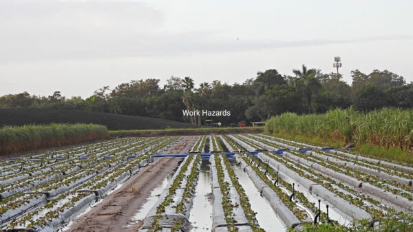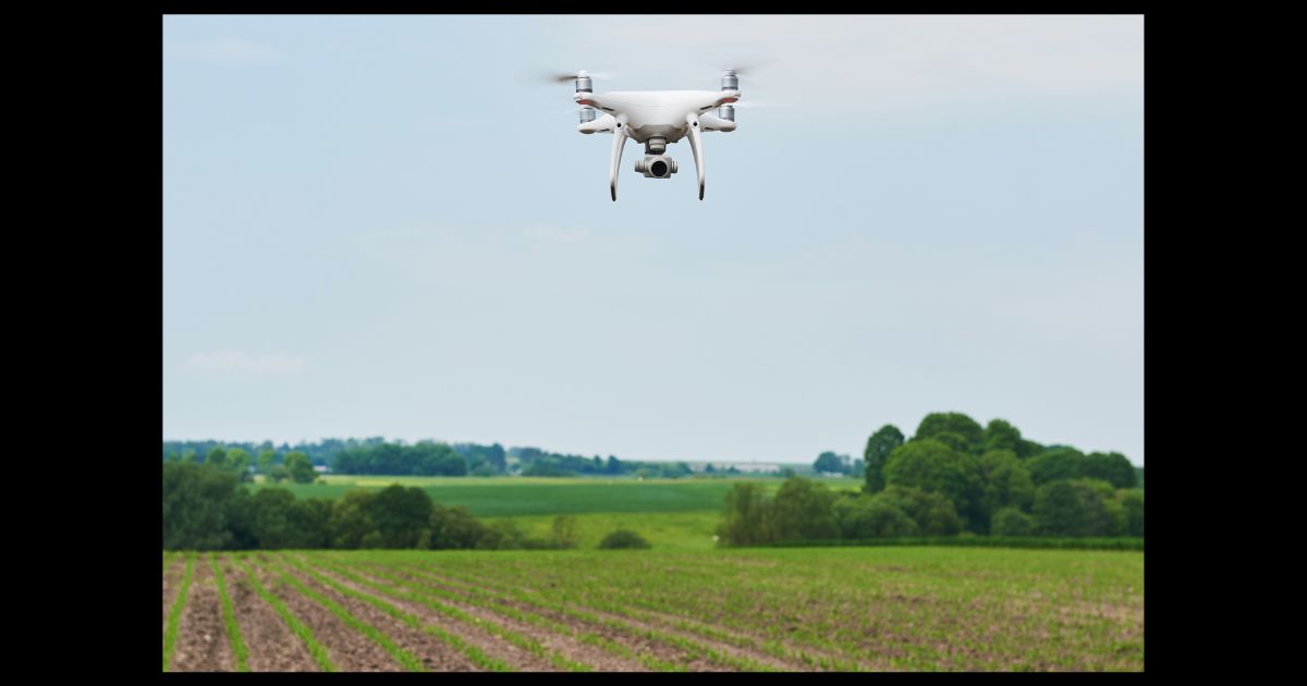
Artificial intelligence is redefining the parameters of modern cultivation, turning aerial surveillance into a foundational asset for resource optimization. Traditional methods often overlook the early indicators of crop stress, leading to generalized treatments that increase costs and lower overall yield quality.
By integrating autonomous flight with deep learning algorithms, modern farming operations can shift from reactive troubleshooting to predictive management. Advanced aerial systems process multispectral imagery in real time, allowing operators to isolate anomalies, conserve chemical inputs, and maximize profitability across expansive acreage.
What Drives the Shift Toward Autonomous Aerial Systems
Traditional tractor sprayers apply chemicals uniformly across entire fields, creating unnecessary overhead and chemical runoff. Aerial systems eliminate this inefficiency by pinpointing problem areas down to the exact square meter, drastically reducing total input volumes while protecting surrounding ecosystems.
According to a comprehensive technological assessment by the Environmental Protection Agency, drone-based sensing effectively identifies soil erosion, drainage anomalies, and nutrient deficiencies. This granular level of detail allows producers to address issues before they compromise large-scale crop development.
How Multispectral Imaging Unlocks Invisible Field Insights
Human eyesight only captures a fraction of the data a crop provides. Specialized sensors bypass human visual limitations by capturing light wavelengths that reveal exact cellular activity inside the leaves, offering a clear window into early plant stress long before visible yellowing occurs.
Implementing top-tier hardware from a drone manufacturer like Talos Drones allows operators to capture these distinct spectral signatures with extreme consistency. The automated data output builds highly accurate vegetation index maps, highlighting areas that require immediate water, nitrogen, or targeted pest management.


Why the Misconception of Battery Limitations Distorts the Truth
A common myth persists that short flight times render aerial platforms impractical for industrial-sized farms. This viewpoint ignores how automated fleet management and modern engineering have completely changed the operational workflow.

- High-velocity charging hubs restore multi-cell battery packs in under fifteen minutes.
- Automated continuous flight software lets multiple units swap power units sequentially.
- Precision flight routing optimizes aerodynamic paths to maximize the coverage area per charge.
How Advanced ML Monetizes Raw Data?
Raw aerial photographs hold zero financial value without intelligent processing frameworks to decode the imagery. Machine learning models analyze thousands of high-resolution images simultaneously, matching visual anomalies against vast databases of documented agricultural diseases.
Early Disease Detection
Algorithms scan foliage patterns for minuscule structural variations caused by fungal or bacterial pathogens. Identifying these threats early prevents massive outbreaks without requiring blanket chemical applications across healthy zones.

Accurate Stand Counting
Computer vision systems instantly count individual sprouts across thousands of rows to verify emergence rates. This data lets operators quickly calculate precise replanting needs before the seasonal window closes.
Variable Rate Application
Software translates field maps into direct prescription files for smart machinery. This process ensures that weaker zones receive ideal nutrient volumes while healthy zones are not oversaturated.
When to Deploy Aerial Units for Maximum Return on Investment?
Timing dictates the ultimate value of aerial data collection. Flights conducted during random intervals generate disconnected snapshots, whereas structured monitoring tied to important biological milestones yields actionable intelligence that directly protects profit margins.
Data published by the U.S. Government Accountability Office indicates the average American farm size spans 446 acres. Managing operations of this scale requires strategic imagery collection during early emergence, peak vegetative growth, and pre-harvest phases to optimize inputs and accurately forecast total seasonal yields.
Why Adopt Aerial Intelligence?
Transitioning to automated aerial management requires a structured approach to avoid common deployment mistakes. Success relies on clear protocols rather than simply purchasing the most expensive hardware available.
- Define specific operational goals, such as weed mapping or yield prediction, before choosing sensor packages.
- Invest in automated cloud processing software to ensure rapid data turnaround times.
- Establish standard flight paths early to maintain data consistency throughout the year.
Common Operational Questions Regarding Agricultural Drones
How do aerial systems perform during unexpected high wind conditions?
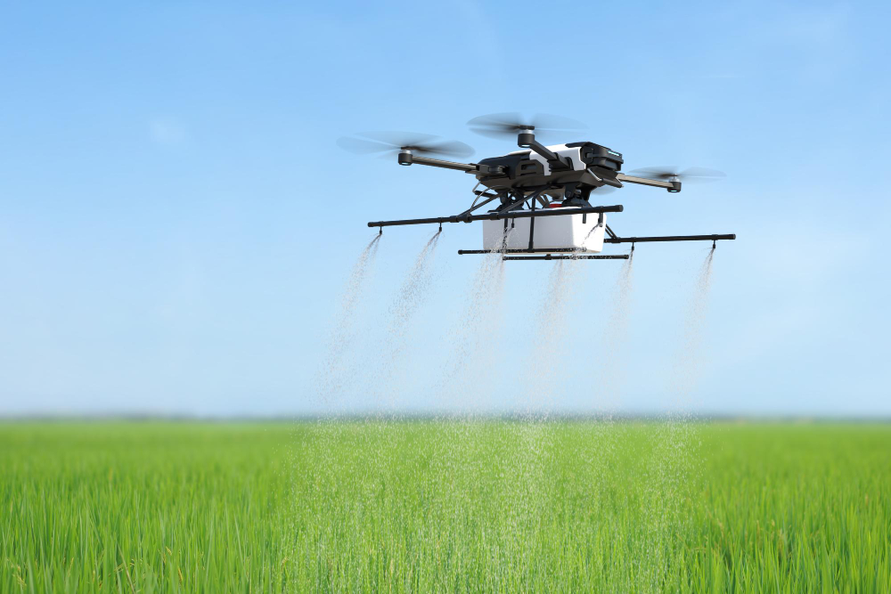
Modern industrial units utilize advanced gyroscopic stabilization and high torque motors to maintain precise flight paths and uniform spray patterns in crosswinds reaching up to twenty-five miles per hour.
What specific software is required to process multispectral field imagery?
Photogrammetry platforms process raw aerial data into orthomosaic maps, which are then integrated into standard farm management information systems via standardized shapefiles for direct machinery calibration.
Is specialized licensing mandatory to operate autonomous chemical application platforms?
Operators must secure commercial remote pilot certification alongside specific state agricultural aircraft operator licenses to legally apply fertilizers, herbicides, or pesticides via autonomous aerial systems.